

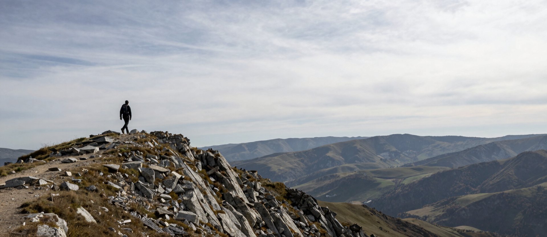
Routes around Plav that answer to conditions, not calendars
Exposed ridges, variable weather, altitude decisions made on the day.


Visitor Mountain
Visitor Mountain offers one of the most scenic hiking experiences in the Plav region, combining peaceful lakeside walks, forest paths, mountain meadows, and rewarding summit views. The route begins with a gentle walk through the beautiful surroundings of Plav, following the area around Visitor Lake and the nearby landscapes before gradually entering the higher mountain terrain. The highlight of the journey is Visitorsko Lake, a crystal-clear mountain lake famous for its rare floating island and its unique natural beauty. Surrounded by forests and alpine scenery, the lake provides a perfect place to stop, relax, and enjoy the peaceful atmosphere before continuing the climb towards the summit. The summit rewards hikers with panoramic views of the Prokletije Mountains and the wider Plav region, making this route a memorable adventure for nature lovers, hikers, and outdoor enthusiasts.
Length: 10.5km (one way)
Elevation: 2214m (ascent ~1,300 m)
Estimated time: 6-8 hours (to and back)
Hrid Lake Trail
The trail starts right from Kula Damjanova resort and climbs steadily up into the Prokletije mountains, winding through cool pine and fir forest and past the summer shepherd huts of Treskavica to reach Hrid Lake — a clear glacial lake at nearly 2,000 m, one of the highest and most beautiful in Montenegro, set in a quiet, protected nature reserve where camping isn't allowed. It's a long, steady uphill walk rather than a technical climb, about 15 km one way with a gain of roughly 1,075 m from the resort (906 m) up to the lake (1,970 m), so plan for a full day, bring plenty of water, and turn back at the lake. The elevation profile reflects this: no sharp peaks or dips, just one sustained climb the whole way up, gentle at first and steeper on the higher slopes before easing off at the lake.
Length: 15km (one-way)
Elevation: 1981m
Estimated time: Around 7 hours (round trip)
Zla Kolata Trail
From the Kula Damjanova resort, drive south through Plav and Gusinje to the trailhead at Vusanje, where the walk begins. The path climbs through forest and open meadows, passing Katun shepherd huts, fill up here at the last spring before the upper mountain turns dry. Higher up, the trail reaches the Ice Cave, where the summit finally appears. A harder pull leads to Qafa Persllopit (2,039 m), the Montenegro–Albania border pass, then on to the high saddle and a final scramble over grass and loose rock to the top of Zla Kolata (2,534 m), the highest point in Montenegro, with jaw-dropping views across the Prokletije range. This is a hard, full-day hike: about 19 km round trip, roughly 9 hours, with a big climb. Start early, bring plenty of water and warm layers, and wear good boots.
Length: 9.4 km (one way)
Elevation: 2,534 m
Estimated time: Around 9 hours (round trip)


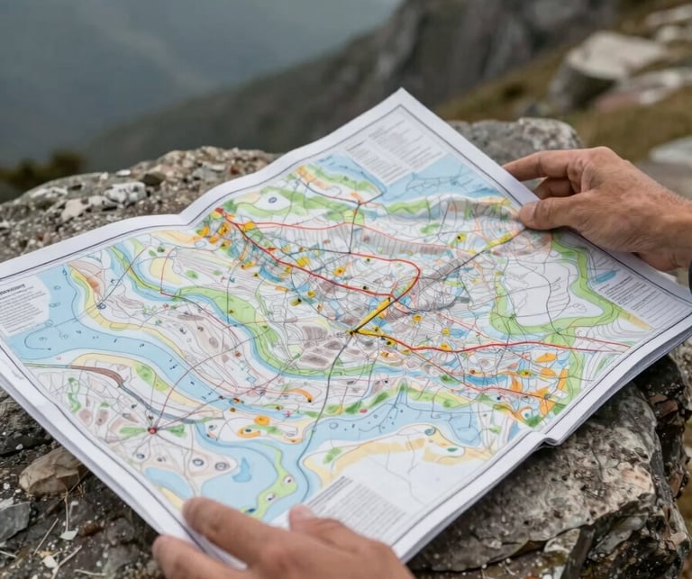
Not a step-up from beginner
Kula Damjanova team will brief the groups a day prior to departure on the route itself, the equipment the group should bring, potential security concerns and adjust the route accordingly to ensure safety and maximize the enjoyment of the adventure.
It is important for everyone to be well-prepared with the right gear and mindset, as the journey through the rugged terrain requires both physical stamina and mental resilience.
Gear, nutrition, and sleep at altitude are your responsibility to arrive with. What Kula Damjanova and its guides have is the terrain knowledge and the judgment to change the plan if/when conditions require it.
Kula Damjanova's hiking experience is the route.
If you've read this far and recognise your own fitness and experience in what's described, write to Kula. We'll tell you honestly whether the timing and terrain are right.